Travel Guide of Phalaborwa in South Africa by Influencers and Travelers
Phalaborwa is a town in the Mopani District Municipality, Limpopo province, South Africa. It is located near the confluence of the Ga-Selati River and the Olifants, halfway up along the western border of the Kruger National Park in the Lowveld.
The Best Things to Do and Visit in Phalaborwa
TRAVELERS TOP 3 :
1 - The Klaserie Private Nature Reserve
28 km away
Balule Nature Reserve is a protected area in Limpopo Province, South Africa which forms part of the Greater Kruger National Park as a member of the Associated Private Nature Reserves.
View on Google Maps Book this experience
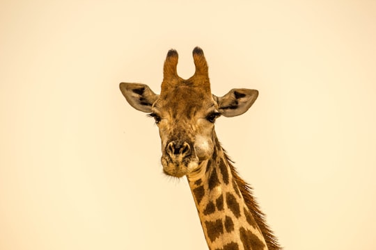
2 - Kruger National Park
42 km away
Kruger National Park is a South African National Park and one of the largest game reserves in Africa. It covers an area of 19,485 km² in the provinces of Limpopo and Mpumalanga in northeastern South Africa, and extends 360 km from north to south and 65 km from east to west.
Learn more Book this experience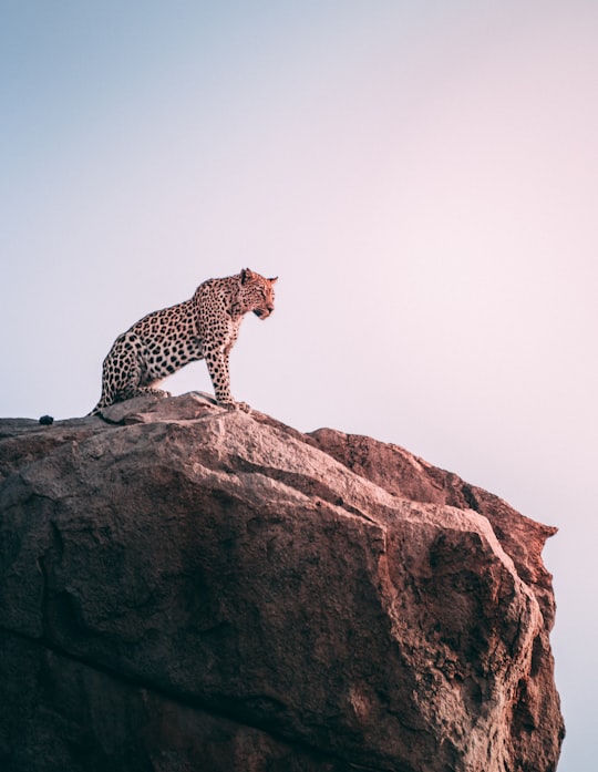
3 - Hoedspruit
48 km away
Hoedspruit is a town situated at the foot of the Klein Drakensberg, in the Limpopo province of South Africa, on the railway line from Tzaneen to Kaapmuiden.
Learn more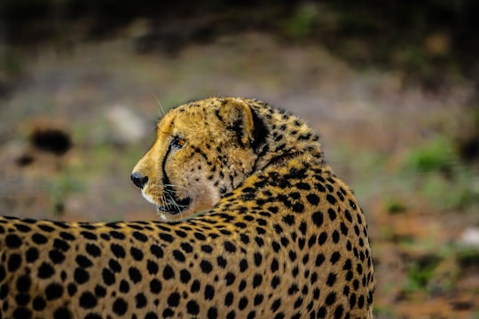
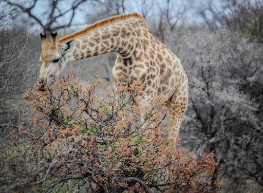
Disover the best Instagram Spots around Phalaborwa here
Book Tours and Activities in Phalaborwa
Discover the best tours and activities around Phalaborwa, South Africa and book your travel experience today with our booking partners
Pictures and Stories of Phalaborwa from Influencers
Picture from Geran de Klerk who have traveled to Phalaborwa
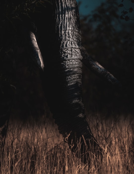
- Elephant grazing at sunset ...click to read more
- Experienced by @Geran de Klerk | ©Unsplash
Plan your trip in Phalaborwa with AI 🤖 🗺
Roadtrips.ai is a AI powered trip planner that you can use to generate a customized trip itinerary for any destination in South Africa in just one clickJust write your activities preferences, budget and number of days travelling and our artificial intelligence will do the rest for you
👉 Use the AI Trip Planner
Why should you visit Phalaborwa ?
Travel to Phalaborwa if you like:
🐾 WildlifeWhere to Stay in Phalaborwa
Discover the best hotels around Phalaborwa, South Africa and book your stay today with our booking partner booking.com
More Travel spots to explore around Phalaborwa
Click on the pictures to learn more about the places and to get directions
Discover more travel spots to explore around Phalaborwa
🐾 Wildlife spotsTravel map of Phalaborwa
Explore popular touristic places around Phalaborwa